


Bicycle map Southeastern Smaland
8
159 kr
- Scale
- 1:90 000
- Map size
- 96 x 46 cm
All information in the map is available in Swedish, English and German.
Shipping for one item, before any shipping benefits
- Shipping to Sweden
- 59 kr
- Other EU countries, from
- 99 kr
Sweden: usually 1–3 business days, sometimes around a week. Other EU countries: usually 1–2 weeks.
How shipping is calculated
For one item, before any shipping benefits. Your final delivery charge depends on your basket and delivery address and is shown at checkout.
Shipping, delivery & returns
Secure payment with Swish, Apple Pay, Google Pay, Visa and Mastercard
- Always the latest edition
- Clearly marked cycling routes and cycling suggestions
- See whether marked routes are gravel or asphalt
- Printed on polyart, a durable and completely water-resistant material
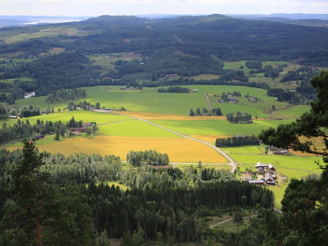
Smaland is known for forests and lakes, but also for its outstanding glassworks. In the southeastern part of the landscape are parts of the Glass Kingdom with Kosta as perhaps the best known name. In Växjö, which is a residential town in Kronoberg County, there is a toy museum for young cyclists, and the little older ones may want to visit the House of Emigrants who record the Swedish American immigrants that Vilhelm Moberg wrote about. Cycle map Southeastern Smaland provides a detailed picture of the cycle paths in the area.
In the north there are places like Lammhult, Åseda and Rottne. On the southern part of the bicycle map are Växjö, Alvesta and in the southeast part are Kosta, Hovmantorp, Lessebo and to some extent the western part of Emmaboda.
All information in the map is available in Swedish, English and German.
The map publisher
1:90 000 (96x46 cm)
9789189427242
Polyart®
1-3 business days
Usually 1–2 weeks within the EU
Cycling routes in this map 8 - Southeast Småland</trp-post-container
-
60 km in Småland Beginner -
Sverigeleden
6600 km (3 stages) in Sweden Intermediate -

Sydostleden
280 km (7 stages) in Blekinge, Skåne and Småland Beginner -

Utvandrarleden
147 km in Småland Beginner
All Cykelkartan Bicycle Maps - Always the latest edition

-
 Sheet 30 - Bicycle map Siljan Runt</trp-post-container
-
 Sheet 29 - Bicycle map Norra Roslagen</trp-post-container
-
 Sheet 28 - Bicycle map Södra Roslagen / Stockholm</trp-post-container
-
 Sheet 27 - Bicycle map of eastern Lake Mälaren</trp-post-container
-
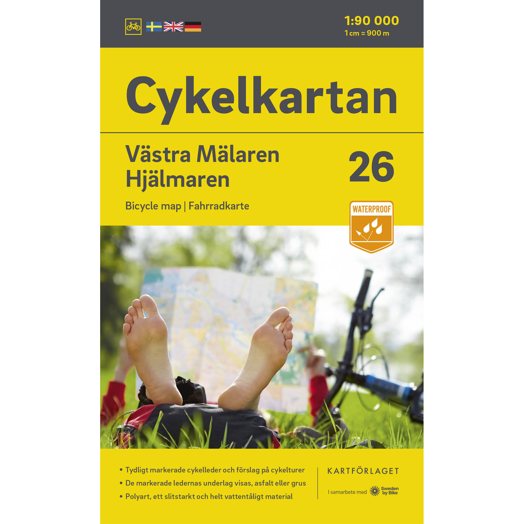 Sheet 26 - Bicycle map of Lake Mälaren / Hjälmaren</trp-post-container
-
 Sheet 25 - Bicycle map Östra Värmland / Närke</trp-post-container
-
 Sheet 24 - Bicycle map Södra Värmland</trp-post-container
-
 Sheet 23 - Bicycle map of Eastern Södermanland</trp-post-container
-
 Sheet 22 - Bicycle map Södermanland / Östergötland</trp-post-container
-
 Sheet 21 - Bike map Vättern runt (northern part)</trp-post-container
-
 Sheet 20 - Bicycle map Dalsland / Norra Bohuslän</trp-post-container
-
 Sheet 19 - Bicycle map Göta Canal</trp-post-container
-
 Sheet 18 - Bicycle map Norra Västergötland</trp-post-container
-
 Sheet 17 - Bicycle map Södra Bohuslän</trp-post-container
-
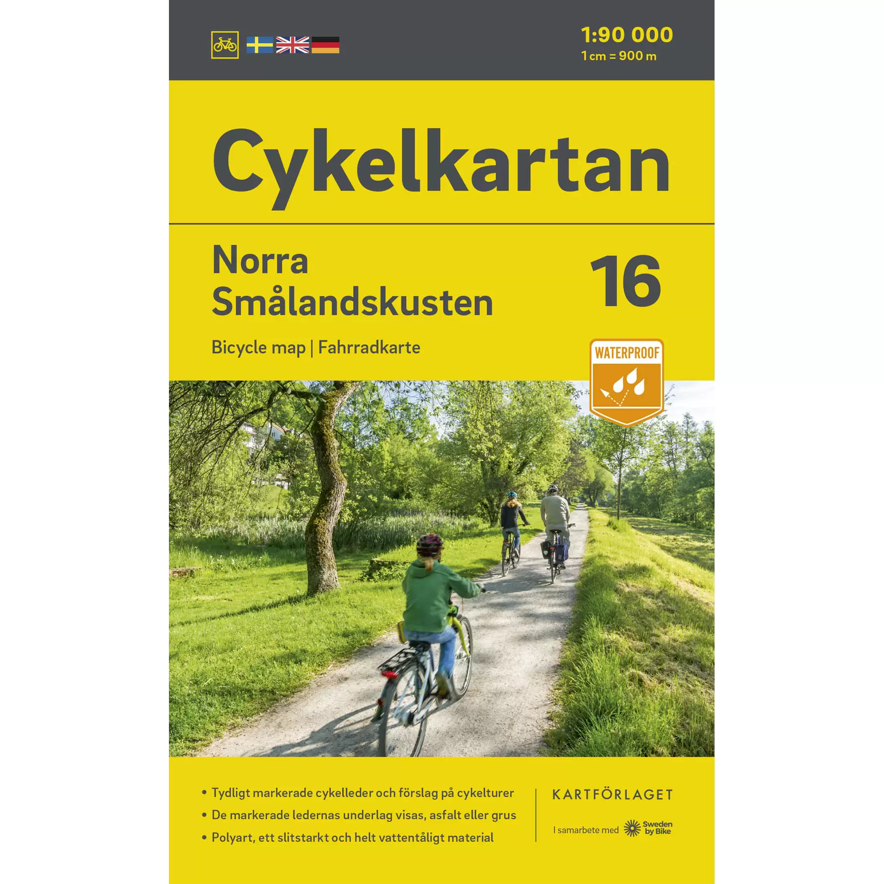 Sheet 16 - Bicycle map North Småland coast</trp-post-container
-
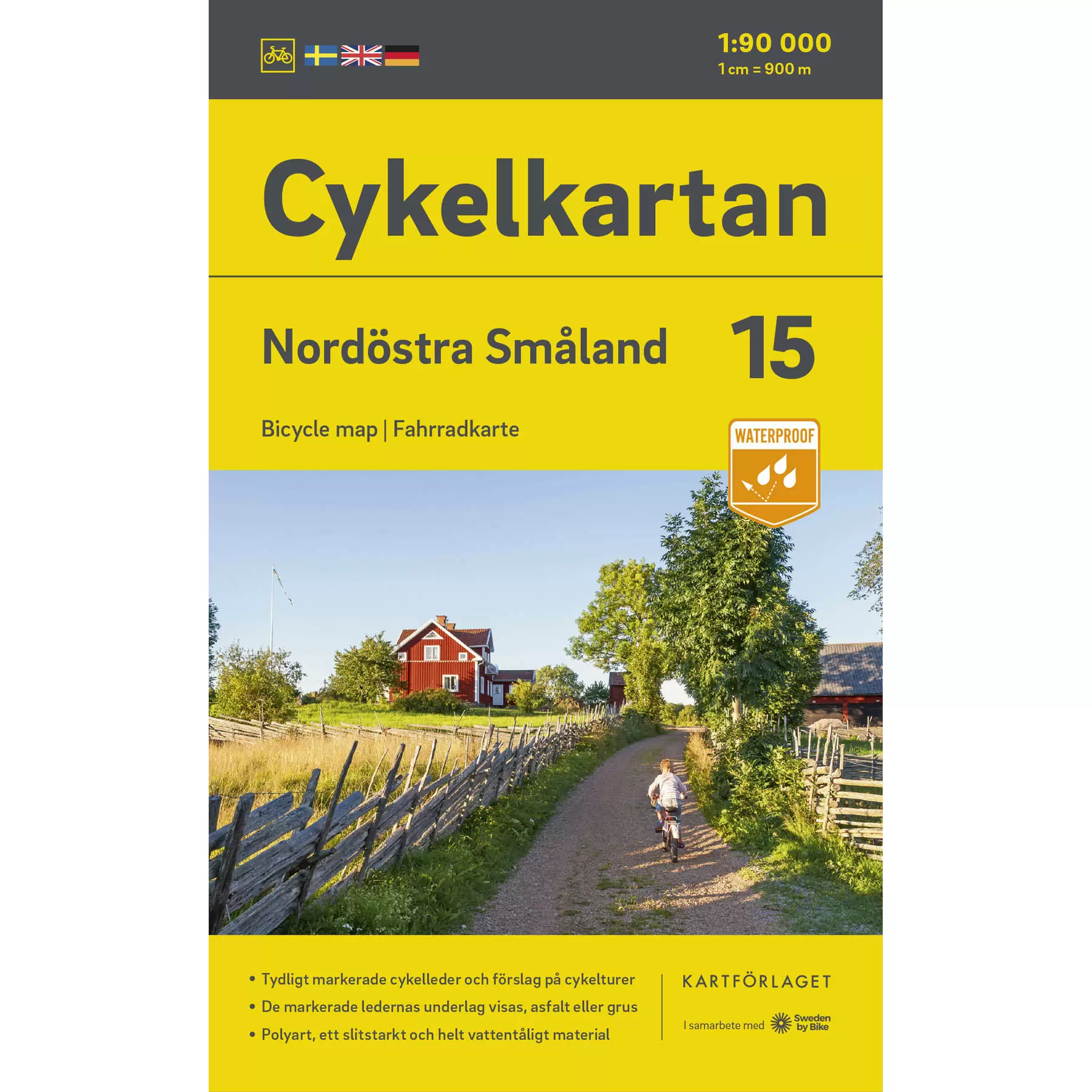 Sheet 15 - Northeast Småland bicycle map</trp-post-container
-
 Sheet 14 - Bicycle map Vättern runt (southern part)</trp-post-container
-
 Sheet 13 - Bicycle map Södra Västergötland</trp-post-container
-
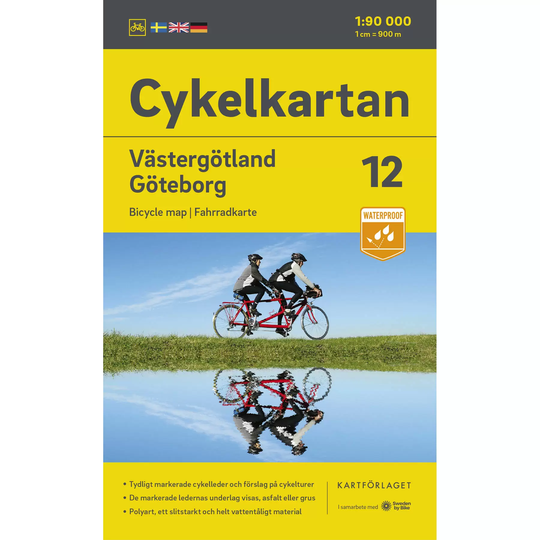 Sheet 12 - Bicycle map Västergötland / Göteborg</trp-post-container
-
 Sheet 11 - Bicycle map Gotland</trp-post-container
-
 Sheet 10 - Bicycle map Öland</trp-post-container
-
 Sheet 9 - Bicycle map Södra Småland coast</trp-post-container
-
 Sheet 8 - Southeast Småland bicycle map</trp-post-container
-
 Sheet 7 - Bicycle map Southwest Småland</trp-post-container
-
 Sheet 6 - Bicycle map Halland</trp-post-container
-
 Sheet 5 - Bike map Blekinge</trp-post-container
-
 Sheet 4 - Northeastern Skåne bicycle map</trp-post-container
-
 Sheet 3 - Bicycle map Northwest Skåne</trp-post-container
-
 Sheet 2 - Southeastern Skåne bicycle map</trp-post-container
-
 Sheet 1 - Southwest Skåne bicycle map</trp-post-container
