


Bicycle map Southwestern Skåne
1
159 kr
- Scale
- 1:90 000
- Map size
- 96 x 46 cm
All information in the map is available in Swedish, English and German.
Shipping for one item, before any shipping benefits
- Shipping to Sweden
- 59 kr
- Other EU countries, from
- 99 kr
Sweden: usually 1–3 business days, sometimes around a week. Other EU countries: usually 1–2 weeks.
How shipping is calculated
For one item, before any shipping benefits. Your final delivery charge depends on your basket and delivery address and is shown at checkout.
Shipping, delivery & returns
Secure payment with Swish, Apple Pay, Google Pay, Visa and Mastercard
- Always the latest edition
- Clearly marked cycling routes and cycling suggestions
- See whether marked routes are gravel or asphalt
- Printed on polyart, a durable and completely water-resistant material
In southwestern Skåne there are lots of charming places to visit and it is always close to the sea. Here is the country's third largest city Malmö which is a notable cycling city with vibrant urban environments. The open agricultural landscape is something to keep your eyes on as you cycle between galleries and farm shops. Included on the bike map is Sweden's southernmost point Smygehuk and the island of Ven with little Tycho Brahe trail, which is named after the famous astronomer. Bicycle map Southwest Skåne gives a detailed picture of the cycle paths in the area. Other major cities you will find on the map are Helsingborg, Landskrona, Lund and Trelleborg.
All information in the map is available in Swedish, English and German.
The map publisher
1:90 000 (96x46 cm)
9789189427174
Polyart®
1-3 business days
Usually 1–2 weeks within the EU
Cycling routes in this map 1 - Southwest Skåne</trp-post-container
-
6600 km (3 stages) in Sweden Intermediate
All Cykelkartan Bicycle Maps - Always the latest edition

-
 Sheet 30 - Bicycle map Siljan Runt</trp-post-container
-
 Sheet 29 - Bicycle map Norra Roslagen</trp-post-container
-
 Sheet 28 - Bicycle map Södra Roslagen / Stockholm</trp-post-container
-
 Sheet 27 - Bicycle map of eastern Lake Mälaren</trp-post-container
-
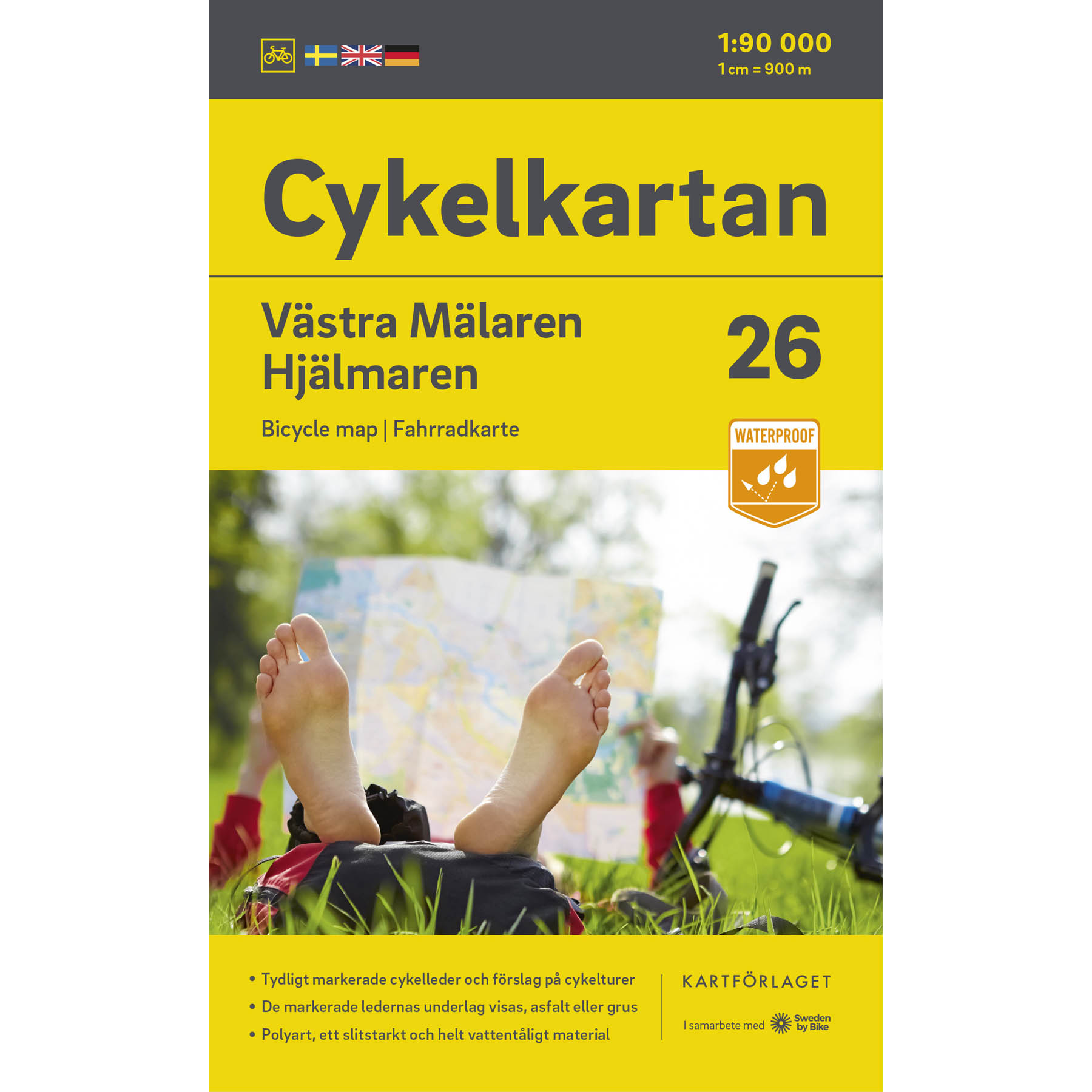 Sheet 26 - Bicycle map of Lake Mälaren / Hjälmaren</trp-post-container
-
 Sheet 25 - Bicycle map Östra Värmland / Närke</trp-post-container
-
 Sheet 24 - Bicycle map Södra Värmland</trp-post-container
-
 Sheet 23 - Bicycle map of Eastern Södermanland</trp-post-container
-
 Sheet 22 - Bicycle map Södermanland / Östergötland</trp-post-container
-
 Sheet 21 - Bike map Vättern runt (northern part)</trp-post-container
-
 Sheet 20 - Bicycle map Dalsland / Norra Bohuslän</trp-post-container
-
 Sheet 19 - Bicycle map Göta Canal</trp-post-container
-
 Sheet 18 - Bicycle map Norra Västergötland</trp-post-container
-
 Sheet 17 - Bicycle map Södra Bohuslän</trp-post-container
-
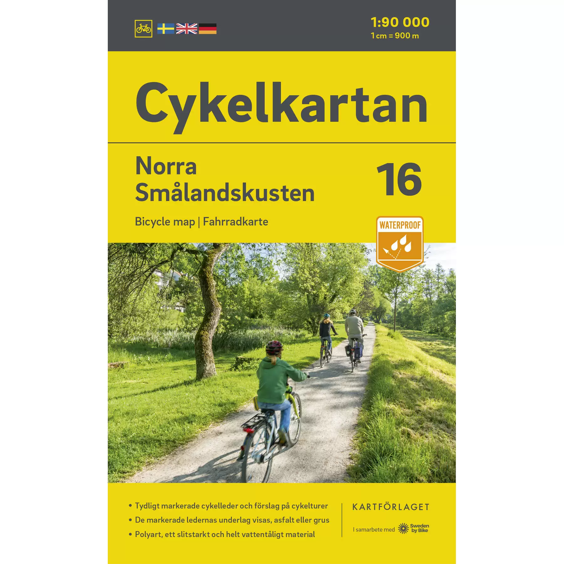 Sheet 16 - Bicycle map North Småland coast</trp-post-container
-
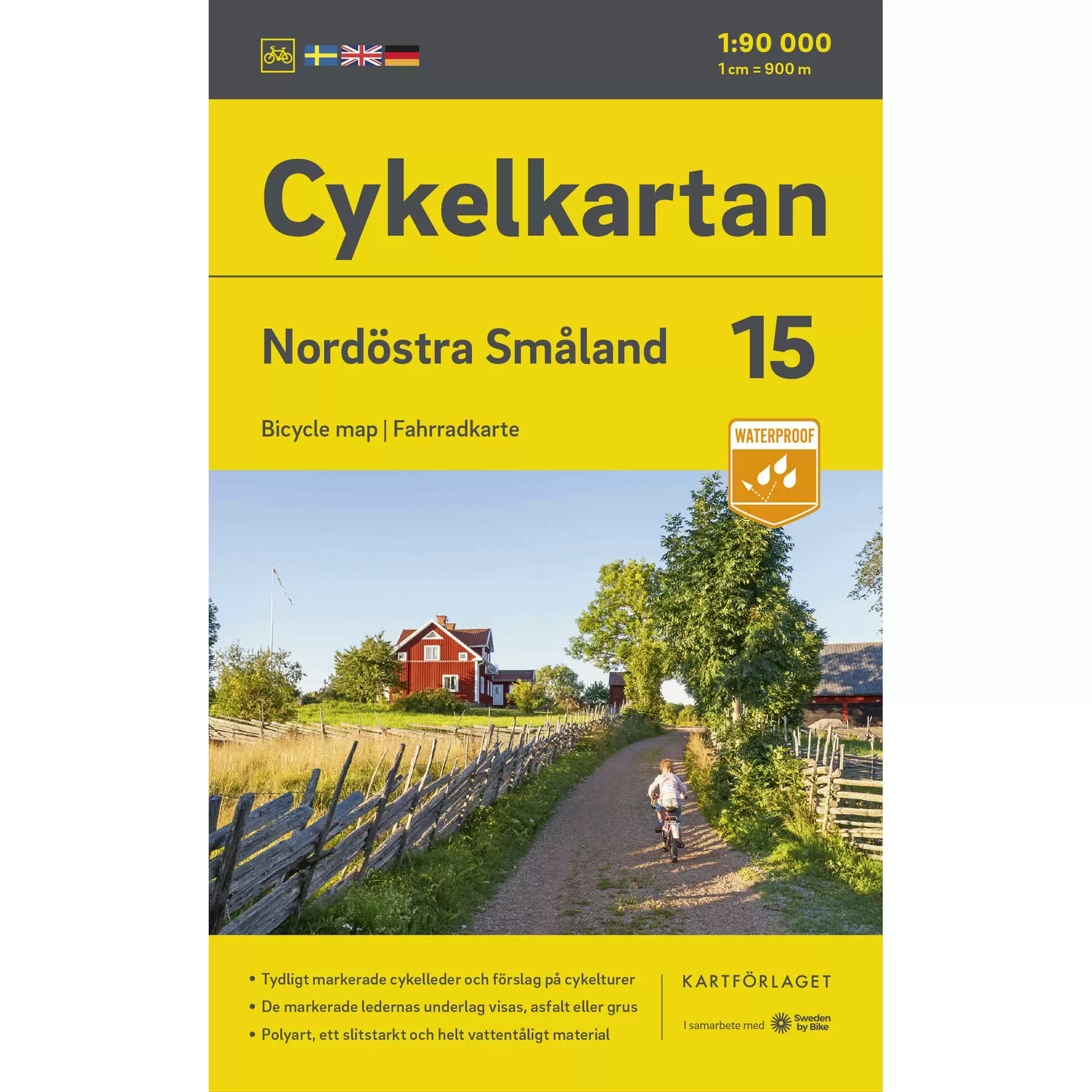 Sheet 15 - Northeast Småland bicycle map</trp-post-container
-
 Sheet 14 - Bicycle map Vättern runt (southern part)</trp-post-container
-
 Sheet 13 - Bicycle map Södra Västergötland</trp-post-container
-
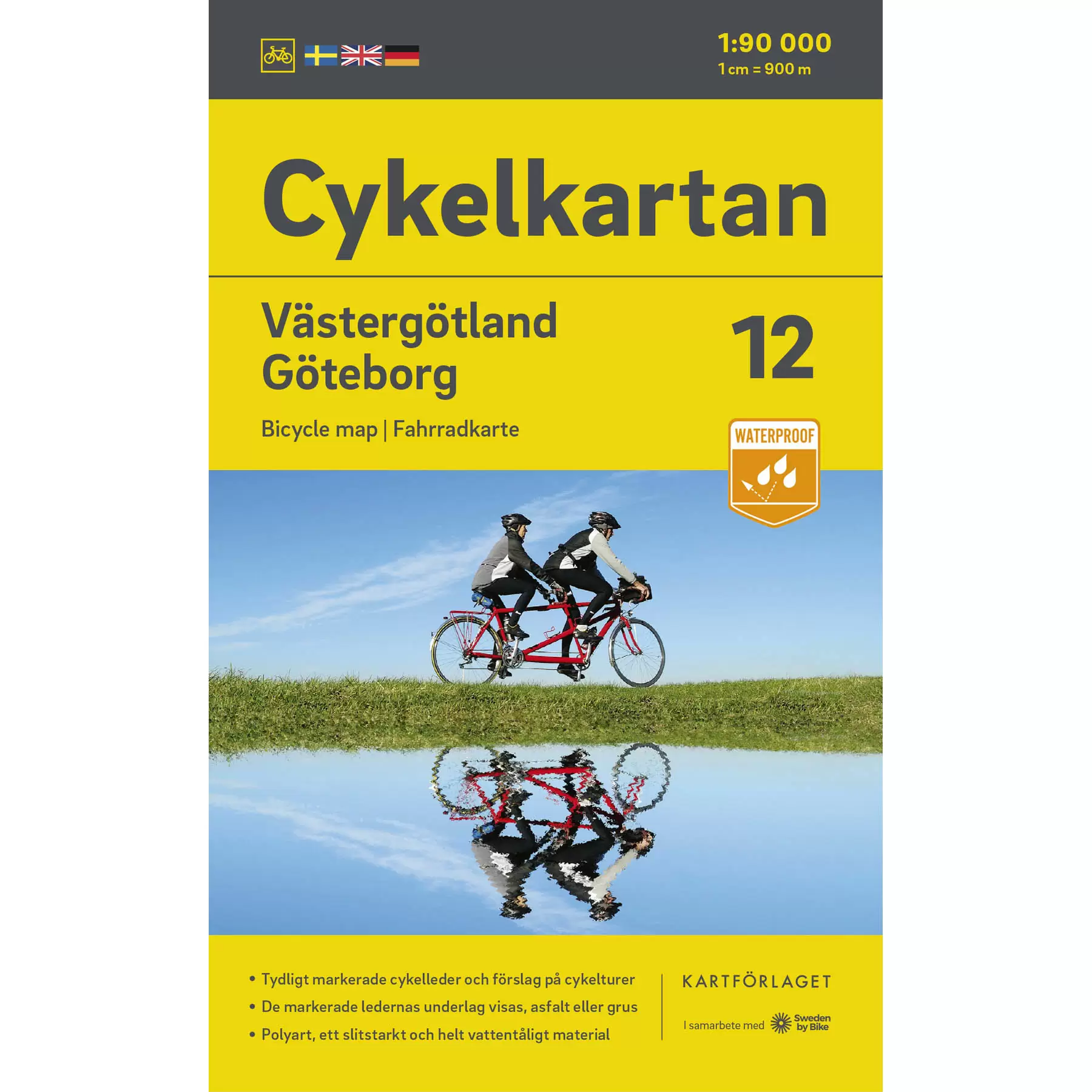 Sheet 12 - Bicycle map Västergötland / Göteborg</trp-post-container
-
 Sheet 11 - Bicycle map Gotland</trp-post-container
-
 Sheet 10 - Bicycle map Öland</trp-post-container
-
 Sheet 9 - Bicycle map Södra Småland coast</trp-post-container
-
 Sheet 8 - Southeast Småland bicycle map</trp-post-container
-
 Sheet 7 - Bicycle map Southwest Småland</trp-post-container
-
 Sheet 6 - Bicycle map Halland</trp-post-container
-
 Sheet 5 - Bike map Blekinge</trp-post-container
-
 Sheet 4 - Northeastern Skåne bicycle map</trp-post-container
-
 Sheet 3 - Bicycle map Northwest Skåne</trp-post-container
-
 Sheet 2 - Southeastern Skåne bicycle map</trp-post-container
-
 Sheet 1 - Southwest Skåne bicycle map</trp-post-container
