
The route on your phone
Become a member to use the route with your phone. You can use the app, or open the GPX file in another map app or GPS device.


From Mariefred, a section along the old Näckrosleden is recommended. Here you will find some gravel roads on low-traffic stretches. The signposted Mälardalsleden between Mariefred and Strängnäs is quite busy and is therefore not recommended.
Strängnäs offers some nice options for a break or an overnight stay. Hotell Laurentius is located right in the heart of the city and offers charming accommodations. The city dates back to the Viking Age. Gustav Vasa was crowned king in the cathedral, and the picturesque Gyllenhjelmsgatan leads up to the church, lined with small red houses on both sides. Grassagården, a well-preserved manor courtyard, is also worth a visit—it features a cozy café.
Out of Strängnäs, the trail runs along the water, past the charming harbor and the characteristic red windmill on the hill. There have been mills here since the 1630s. The current mill was built in Dutch style in 1855. Then follows road cycling where you sometimes share the road with car traffic. At Lundby, the trail makes a detour through a quiet agricultural landscape with fields and meadows - here it is not unusual to see deer, hares or squirrels.
Just before Sundbyholm is the impressive Sigurd carving on Ramsundshällen - a Viking Age rune carving over 1000 years old, well preserved and rich in history. Just around the corner is a centuries-old oak tree, dead but mighty, almost resembling a sculpture.
Once you arrive in Sundbyholm, there are several options: staying overnight at Sundbyholms slott, a visit to the guest harbor for a meal, a detour to the nature reserve at Broudden, or a dip at the large, beautiful beach.
The app is a practical way to use Sweden by Bike on your phone, including routes, favorites and selected membership features.


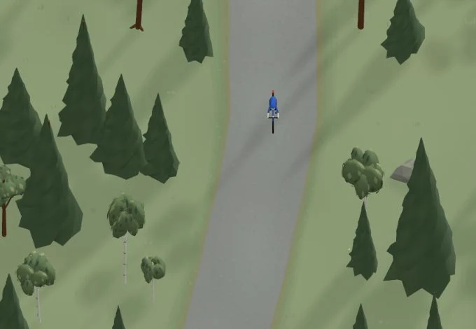
Get a taste of the route in a short, playful cycling game. Follow the bends, take on the hills and discover places along the way.
Start the gameBe the first to suggest a place! As a member, you can add your own locations via the button on the map. Learn more about membership


Found something that does not look right with the GPX file, map, route alignment, or content?


Tips and experiences
As a member, you can read tips from others and share your own experience here.
Learn more about membership