
The route on your phone
Become a member to use the route with your phone. You can use the app, or open the GPX file in another map app or GPS device.


When you leave Sundbyholm you pass close to the racecourse. Horses are an everyday feature - there are many horse farms along the Mälardalsleden. The cycling is mostly on quiet country roads, with shorter stretches where there may be a little more traffic.
After a while you reach Torshälla. The signposted trail passes outside the center, but if you want to take a break, you can cross the bridge into the city center. Here you will find the pleasant Café Gröna Villan - housed in a green villa. Then continue along the canal. Torshälla Canal is actually Sweden's first canal, built at the end of the 17th century on the initiative of Duke Karl, who wanted to create a connection between Lake Mälaren and Lake Hjälmaren. For the bathing enthusiast, there is Roxnäs bathing place along the way. After that, there is a quiet country road through agricultural landscapes, where pheasants often stroll between the fields.
At Tumbo, it is important to stick to the digital map and not the signposted directions. Then you avoid the busy main road and can instead cycle along a small gravel road near the railway towards Östra Tibble. Here it is much quieter - on gravel and a short stretch of path. The journey then continues on winding gravel roads past red cottages and farm environments, before the last stretch towards Kungsör goes on a cycle path.
In Kungsör, there is a guest harbor, and as you walk along the river, you’ll pass Åparken. Across the water lies Kungsudden, where you’ll find a café and a birdwatching tower. For overnight stays, Kungsörstorp Hotell & Konferens A great option—beautifully situated on a hill overlooking the lake and the city.
The app is a practical way to use Sweden by Bike on your phone, including routes, favorites and selected membership features.




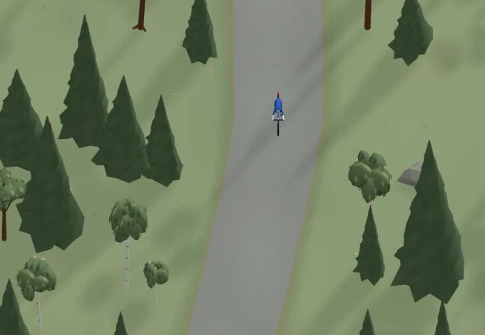
Get a taste of the route in a short, playful cycling game. Follow the bends, take on the hills and discover places along the way.
Start the gameBe the first to suggest a place! As a member, you can add your own locations via the button on the map. Learn more about membership


Found something that does not look right with the GPX file, map, route alignment, or content?

Tips and experiences
As a member, you can read tips from others and share your own experience here.
Learn more about membership