
Cycling holidays in the area
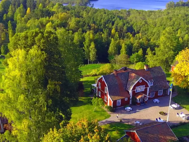
Ready-made cycling holidays close to the route or elsewhere in the area.


Plan your ride
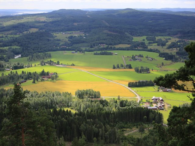
The Vättern-Sommen Trail takes you through one of Östergötland's most varied and scenic areas. The trail passes places like Ödeshög, Omberg, Vadstena, Tranås and Gränna, and offers a mix of historic cultural landscape, lake cycling and lush forest environments.
From the fertile the östgöta plain in the north you cycle on over Omberg and along the dramatic steep Vättern beach. The tour continues through Holaveden - the bright but mysterious forest that inspired John Bauer - before you reach Lake Sommen with its clear blue waters. The landscape is flatter in the north and more hilly in the south, making the trail varied and interesting.
You cycle on smaller country roads, but some lots go on roads with higher traffic where extra attention is needed. On the Visingsö there are about 25 km of signposted cycle paths, perfect for a detour.
If you want to take a boat across Vättern, you can travel with the classic Steamship Traffic, which has Hjo as its home port and is run by the non-profit association Company S / S Traffic Friends. Vättern-Sommenleden is developed and signposted by the Swedish Cycling Society.
Photo: Smalandsbilder.se
The app is a practical way to use Sweden by Bike on your phone, including routes, favorites and selected membership features.


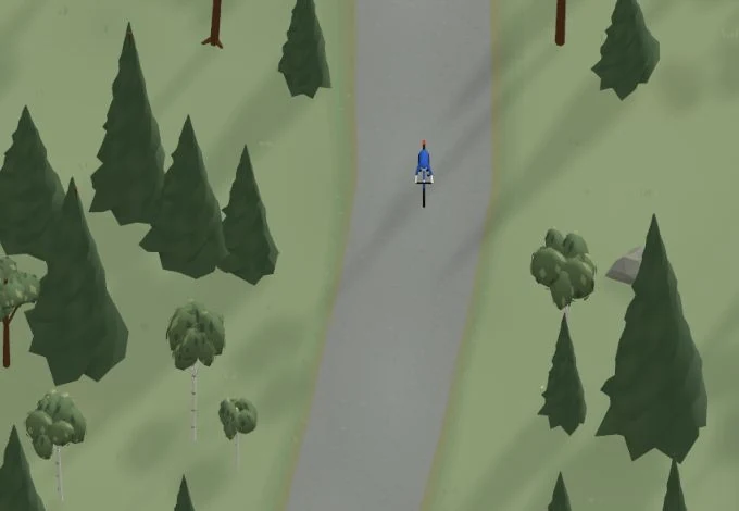
Get a taste of the route in a short, playful cycling game. Follow the bends, take on the hills and discover places along the way.
Start the gameMissing a place? Suggest it on the map.


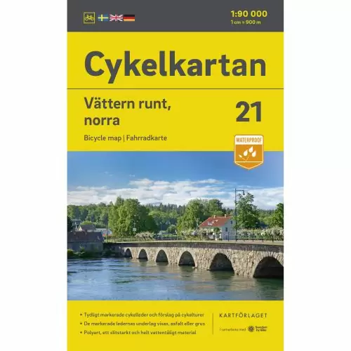
Printed map · Water-resistant
Buy Now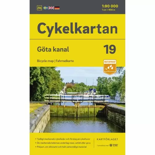
Printed map · Water-resistant
Buy Now
Printed map · Water-resistant
Buy Now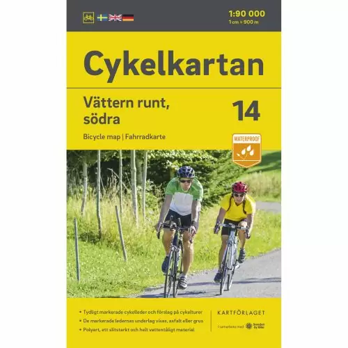
Printed map · Water-resistant
Buy Now


Help improve this page. Is something missing or out of date?
Tips and experiences
Have you cycled here? Share something that was useful to know, such as surface conditions, a good stop, or a section to watch.