
Vänerleden
Intermediate Asphalt Gravel


This cycling route has undergone a special certification by the Swedish Transport Agency, which certifies that the path is of high quality, has clear signage and is safe for traffic. There is also a wide range of experiences and services along the trail.
Just after Dalbergså, a detour awaits you to Dalaborg ruin, where you can stop for a picnic with a magnificent view of Lake Vänern. Here once stood one of the country's most powerful castles, and on clear days you can see all the way to Kinnekulle. Along the way to Mellerud you will pass Hjortens udde, a dramatic headland with legends of giants, and the fine swimming beach Näs.
In Mellerud there are plenty of opportunities to stock up on provisions or stay overnight at Sunnanå harbor or Vita Sandars camping, which attracts with shallow beach, pool and restaurant. East of Mellerud you follow a quiet, car-free railway embankment to Dals-Rostock, where you will find a herb farm, arts and crafts, a charming local history museum and cozy café. From here you are close to Kroppefjäll, a wooded nature area with hiking trails, viewpoints and the small Mörttjärn nature reserve. Take a walk along Dr. Saedén's round, a cultural trail lined with small works of art and imaginative creations in the middle of the forest.
The trail then continues through forests, meadows and small villages via Tegen and Tångebyn before you reach Dals Långed. Here, Dalsland's canal, scenic views and several accommodations await. From Kanalvillan and Laxsjöns camping to Baldersnäs manor, where you stay in an 18th-century environment and can enjoy top-class food at Öjentorp's kitchen.
Photo: Jonas Ingman.

Use Sweden by Bike to find cycling routes on the map and save favorites for your next ride.


Missing a place? Select “Add Location” on the map, then mark its location.


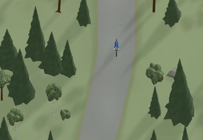
Get a taste of the route in a short, playful cycling game. Follow the bends, take on the hills and discover places along the way.
Is something missing or out of date?
Tips and experiences
Have you cycled here? Share something that was useful to know, such as surface conditions, a good stop, or a section to watch.