
The route on your phone
Become a member to use the route with your phone. You can use the app, or open the GPX file in another map app or GPS device.


The Västerbotten section of the Sverigeleden connects Rusksele, Lycksele and Åsele, three charming places in the heart of the Norrland hinterland. Along this route, you'll encounter deep forests, rivers and the historic settings of the old communities.
Lycksele is a place where culture and nature come together. There is a zoo and historic buildings that tell the story of the region's Sami past. Here you can learn things and get some well-deserved recreation. Lycksele is also an important hub, where the region's roads and rivers intersect.
Åsele is located in an area known for its beautiful forests and lakes. The town has a rich cultural heritage to offer. Here you can experience traditional events, such as the annual market, which attracts visitors from near and far.
Parts of the Northern Sweden Trail run along high-speed roads, but traffic volumes are usually low.
The app is a practical way to use Sweden by Bike on your phone, including routes, favorites and selected membership features.




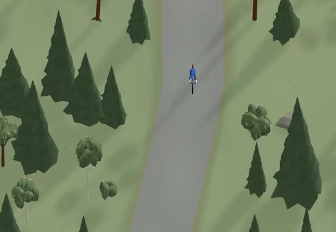
Get a taste of the route in a short, playful cycling game. Follow the bends, take on the hills and discover places along the way.
Start the gameBe the first to suggest a place! As a member, you can add your own locations via the button on the map. Learn more about membership
Found something that does not look right with the GPX file, map, route alignment, or content?
Tips and experiences
As a member, you can read tips from others and share your own experience here.
Learn more about membership