
The route on your phone
Become a member to use the route with your phone. You can use the app, or open the GPX file in another map app or GPS device.


This part of the Sweden Trail connects Åsele, Ramsele and Laggarberg, located in the Västerbotten and Ångermanland regions. The route invites you to discover the hidden gems along the way and the beauty of northern Sweden's hinterland.
Åsele, the starting point of the route, is a melting pot where old and new come together. With its location on the Ångerman River and its market days dating back to the 17th century, the town offers a vivid picture of northern traditions.
On to Ramsele, a village characterized by its rich waterways, especially the Fax River, which makes it particularly attractive to fishermen and nature lovers. Ramsele's old church town and preserved buildings give rise to historical reflections. The final destination, Laggarberg, represents the forested heart of the region. Here you can sense the deep silence of the vast forests and feel the presence of the wilderness.
Parts of the Northern Sweden Trail run along high-speed roads, but traffic volumes are usually low.
The app is a practical way to use Sweden by Bike on your phone, including routes, favorites and selected membership features.




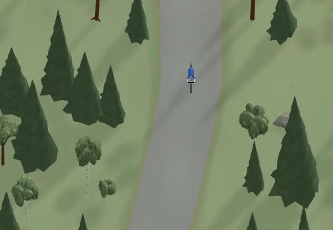
Get a taste of the route in a short, playful cycling game. Follow the bends, take on the hills and discover places along the way.
Start the gameBe the first to suggest a place! As a member, you can add your own locations via the button on the map. Learn more about membership
Found something that does not look right with the GPX file, map, route alignment, or content?
Tips and experiences
As a member, you can read tips from others and share your own experience here.
Learn more about membership