Cycling holidays in the area
Ready-made cycling holidays close to the route or elsewhere in the area.


Plan your ride
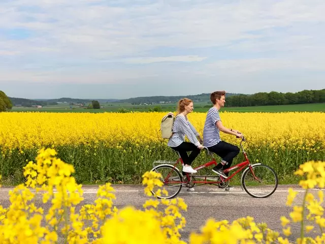
Fjärdhundralandsleden runs between Fjärdhundra and Örsundsbro in Uppland. The bike trail offers beautiful roads, rural environment and good opportunities for breaks for coffee, bathing or a detour to nearby destinations in the experience-rich Fjärdhundraland.
The cycling is mostly on asphalt, but the trail also includes a few kilometers of lightly cycled gravel road. This makes the trail accessible to both beginners and experienced cyclists, and easy to combine with other routes in the area for those who want to create a longer ride.
Along the way, there are several cozy stops, farm shops and cafés where you can taste local delicacies. Located in the middle of Fjärdhundraland, the trail also serves as a perfect base for discovering more attractions in the area.
The app is a practical way to use Sweden by Bike on your phone, including routes, favorites and selected membership features.


In cooperation with


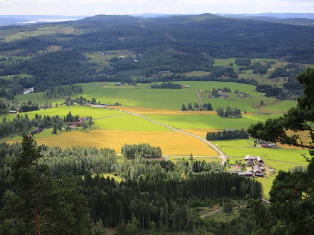
Get a taste of the route in a short, playful cycling game. Follow the bends, take on the hills and discover places along the way.
Start the gameMissing a place? Suggest it on the map.
Help improve this page. Is something missing or out of date?


Tips and experiences
Have you cycled here? Share something that was useful to know, such as surface conditions, a good stop, or a section to watch.