
The route on your phone
Become a member to use the route with your phone. You can use the app, or open the GPX file in another map app or GPS device.


Now it's time to let Sverigeleden help you discover Valne, Hotagen and Valsjöbyn. The route takes you through forests and along lakes and mountains. Villages with a long history give you a sense of the region's uniqueness.
Valne, the starting point of the route, is characterized by its peaceful nature and wooded surroundings. The journey continues towards Hotagen, an area known for its magnificent mountain environment and Hotagensjön lake. Here you can enjoy the view of the mountain range, the place is a popular stop for nature lovers and hikers.
Finally, Valsjöbyn is an idyllic village located at the foot of the mountains. Here you can admire the Regnsfallet waterfall and look out over famous fishing waters. Of course, the place offers the usual Jämtland seclusion and tranquillity.
Parts of the Northern Sweden Trail run along high-speed roads, but traffic volumes are usually low.
The app is a practical way to use Sweden by Bike on your phone, including routes, favorites and selected membership features.


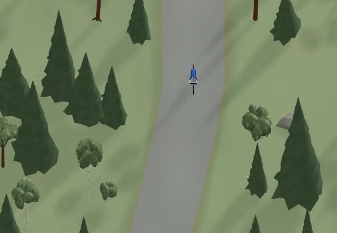
Get a taste of the route in a short, playful cycling game. Follow the bends, take on the hills and discover places along the way.
Start the gameBe the first to suggest a place! As a member, you can add your own locations via the button on the map. Learn more about membership
Found something that does not look right with the GPX file, map, route alignment, or content?
Tips and experiences
As a member, you can read tips from others and share your own experience here.
Learn more about membership