
The route on your phone
Become a member to use the route with your phone. You can use the app, or open the GPX file in another map app or GPS device.


This stage of the Sweden Trail, which stretches from Stalon via Klimpfjäll to Gäddede, takes you through the beautiful nature of Lapland and Jämtland. Here it is close to the adventure in the wilderness where forest meets mountains.
Klimpfjäll, a must on this route, is one of Sweden's true mountain gems with its location surrounded by majestic peaks and vast waters. It is known for its scenic cycling and hiking trails and winter sports opportunities. Klimpfjäll bears traces of the Sámi's thousand-year history in the region, giving the experience an extra cultural depth.
Finally, you will arrive in Gäddede on the Norwegian border, a town strategically located where two large rivers meet. There are opportunities for both fishing and recreation, but also the chance to reflect in silence on the beauty of the landscape.
Parts of the Northern Sweden Trail run along high-speed roads, but traffic volumes are usually low.
The app is a practical way to use Sweden by Bike on your phone, including routes, favorites and selected membership features.



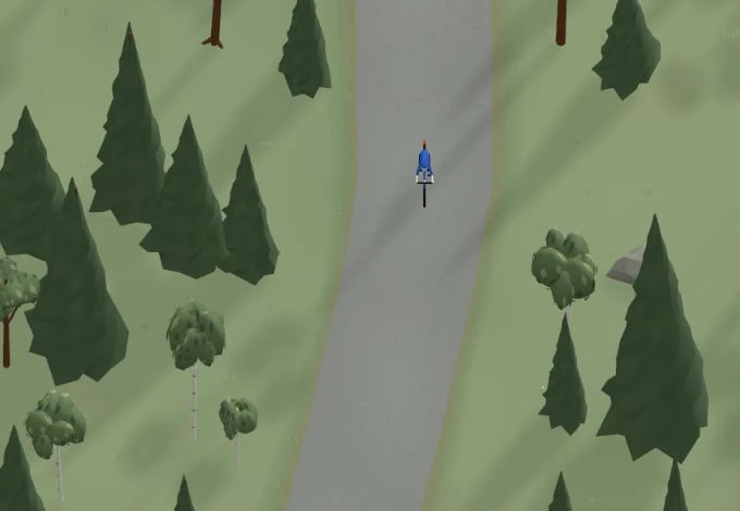
Get a taste of the route in a short, playful cycling game. Follow the bends, take on the hills and discover places along the way.
Start the gameBe the first to suggest a place! As a member, you can add your own locations via the button on the map. Learn more about membership
Found something that does not look right with the GPX file, map, route alignment, or content?
Tips and experiences
As a member, you can read tips from others and share your own experience here.
Learn more about membership