
The route on your phone
Become a member to use the route with your phone. You can use the app, or open the GPX file in another map app or GPS device.


Along this stage of the Sweden Trail, which connects Stalon with Skalmodal via Dikanäs, you'll get to know everything from rushing rivers to vast forests.
A gem along the route is Dikanäs, or the Sami name Gäjka, located at the foot of the mighty Marsfjäll massif. Here is the motorcycle museum with some 40 motorcycles, ranging from war veterans to Harley Davidsons. About 15 km from Dikanäs you will find the village of Matsdal, a beautiful mountain village located in the valley between Norra and Södra Gardfjället.
The journey continues towards Skalmodal and the Norwegian border. The area is of great value for reindeer husbandry. Here, forests, lakes and mountain formations alternate along the way. You will come into close contact with the magnificent landscape in a way that creates memories for life.
Parts of the Northern Sweden Trail run along high-speed roads, but traffic volumes are usually low.
The app is a practical way to use Sweden by Bike on your phone, including routes, favorites and selected membership features.



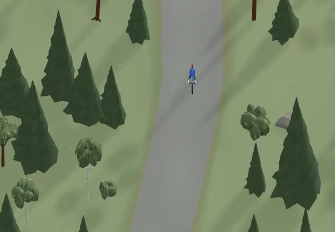
Get a taste of the route in a short, playful cycling game. Follow the bends, take on the hills and discover places along the way.
Start the gameBe the first to suggest a place! As a member, you can add your own locations via the button on the map. Learn more about membership
Found something that does not look right with the GPX file, map, route alignment, or content?
Tips and experiences
As a member, you can read tips from others and share your own experience here.
Learn more about membership