
The route on your phone
Become a member to use the route with your phone. You can use the app, or open the GPX file in another map app or GPS device.


The route from Spraxkya to Snavlunda on the Sweden Trail offers a mix of varied terrain, historic landmarks and picturesque towns, providing a multifaceted experience of Sweden's inner beauty.
The journey begins in Spraxkya, an idyllic point surrounded by forest and open countryside. From here, the trail takes cyclists through beautiful, hilly terrain and offers panoramic views of the region's natural beauty.
Next stop is Nora, a charming town known for its well-preserved wooden houses from the 18th and 19th centuries. Here visitors can experience a sense of bygone times, strolling around the cobbled streets and enjoying the view of Lake Nora. Nora also offers a rich cultural history, with many museums and cultural activities to explore.
Finally, the route leads to Snavlunda, a quiet area perfect for those who want to relax in nature. With its surrounding greenery and peaceful atmosphere, Snavlunda offers a break from the fast-paced everyday life and the opportunity to take in the wonders of nature.
The app is a practical way to use Sweden by Bike on your phone, including routes, favorites and selected membership features.




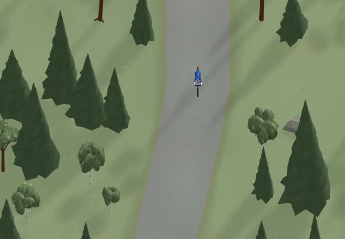
Get a taste of the route in a short, playful cycling game. Follow the bends, take on the hills and discover places along the way.
Start the gameBe the first to suggest a place! As a member, you can add your own locations via the button on the map. Learn more about membership
Found something that does not look right with the GPX file, map, route alignment, or content?


Tips and experiences
As a member, you can read tips from others and share your own experience here.
Learn more about membership