

The route on your phone
Become a member to use the route with your phone. You can use the app, or open the GPX file in another map app or GPS device.


The Siljan Trail is a cycle path that takes you around some of Dalarna's most iconic landscapes and lakes. The trail mainly follows county and country roads and winds through the lowlands around Siljan, Lake Oresjön, Skattungen and Orsasjön.
You can start in Mora, Rättvik, or Orsa. Along the way, you will experience both powerful natural scenery and cultural-historical sights, while rest and camp sites are at a convenient distance.
An extra experience during the summer months is to take the trip with M/S Gustaf Wasa, Sweden's oldest passenger steamer, which operates the routes between Leksand, Mora and Rättvik. It is also possible to bring your bike on board, making it easy to combine cycling with a boat trip.
On some stretches, the trail runs on roads with higher traffic, where it is important to pay extra attention. Approx. 80% asphalt, 20% gravel.
The app is a practical way to use Sweden by Bike on your phone, including routes, favorites and selected membership features.


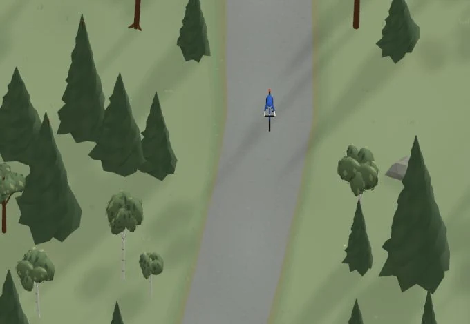
Get a taste of the route in a short, playful cycling game. Follow the bends, take on the hills and discover places along the way.
Start the gameMissing a place? Suggest it on the map.


Help improve this page. Is something missing or out of date?
Tips and experiences
Have you cycled here? Share something that was useful to know, such as surface conditions, a good stop, or a section to watch.