Surface
Asphalt and Gravel
Traffic
Occasionally along a busy road
Elevation Profile
1446 m ascent, 1445 m descent.
Signage
Yellow "Ölandsleden" signs,
Level
Intermediate

Plan your ride

Plan Ölandsleden

Cycling holidays in the area

Ready-made cycling holidays close to the route or elsewhere in the area.

Ride on your own

Become a member to use the route with your phone. You can use the app, or open the GPX file in another map app or GPS device.

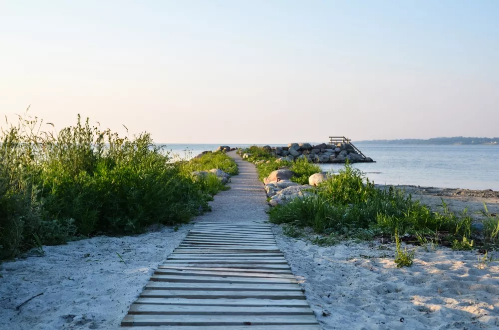
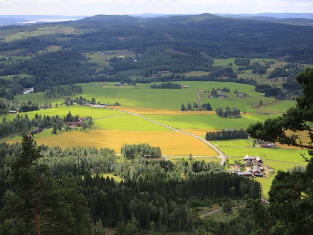
Ölandsleden takes you around Öland, one of Sweden's most unique and exotic islands. It combines sun and swimming with culture, nature and world heritage, making the trail one of the country's most varied cycling experiences.

In the north of Öland Bay of Boda with its miles of sandy beaches, while Borgholm offers a lively summer life. Along the trail you also cycle through The Great Alvar, the World Heritage-listed agricultural landscape with its rugged beauty and rich biodiversity. Here you will encounter a landscape shaped by thousands of years of agriculture and where rare plants and animals thrive.

Öland is also known as a paradise for birdwatchers, with unique species that attract visitors from all over the world. The cycling season is long - from springtime flowers to colorful autumn days - making the island a perfect destination for both short and long cycling adventures. Keep in mind, however, that some routes are more congested during peak season, especially near the larger towns. Approximately 65% asphalt, 35% gravel.

Use the app on your ride

The app is a practical way to use Sweden by Bike on your phone, including routes, favorites and selected membership features.


Elevation (m)
A cycling game inspired by this route

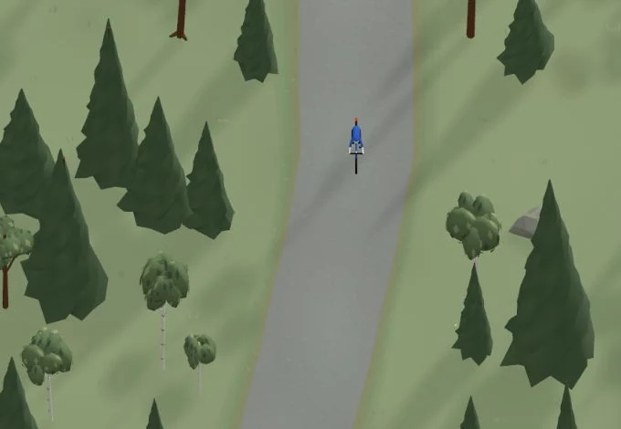
Take a spin in BikeFree

Get a taste of the route in a short, playful cycling game. Follow the bends, take on the hills and discover places along the way.

Start the game

Points of Interest

  • Seriously
  • Borgholm Castle
  • Bödabukten's mile-long sandy beach
  • Café Haget
  • Eketorps borg
  • A walk through Himmelsberga
  • Bird life at Ottenby
  • Gårdby Café & Country Store
  • Lime Kitchen and Bar
  • Kårehamn Fish & Sea Kitchen
  • The Lamb & the Pig
  • Sandvik's Mill
  • Sollidens castle
  • Sunset at Äleklinta
  • Stone Barn Farm Shop
  • Vida Museum & Art Gallery
  • Vision Skäftekärr
  • Ölands Museum Himmelsberga
  • Ölands Örtagård

Missing a place? Suggest it on the map.

Tips and experiences

What would you like to share?

Share tips and experiences from your ride. Tips are reviewed before publication.

Leave your email if we may contact you about your tip. It will not be shown publicly.

Have you cycled here? Share something that was useful to know, such as surface conditions, a good stop, or a section to watch.

Bicycle Maps

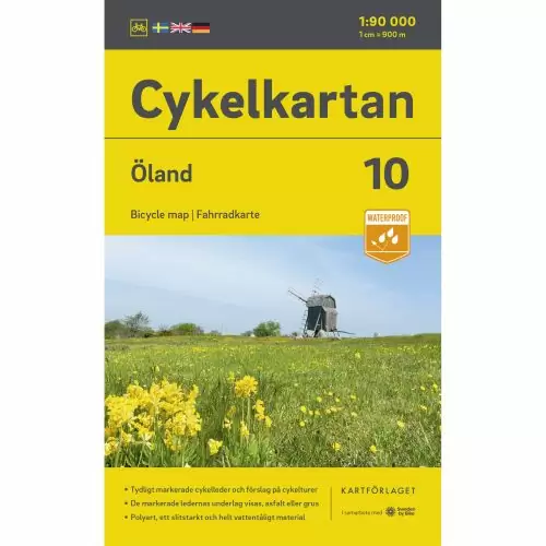
  • Cycle map 10 Öland

    Bicycle map Öland

    159 kr

    Printed map · Water-resistant

    Buy Now

Transportation and Travel Options

You can travel to Kalmar with Öresundståg and bring your bike on board subject to availability. There is room for a maximum of 6 bicycles, which are placed in the low train carriage with a bicycle symbol on the outside. Another option for those who want to bring your bike is to travel with Flixbuss to Kalmar.

From May to September you can take your bike on board the ferry M/S Dessi, which runs between Kalmar and Färjestaden on Öland.

Help improve this page. Is something missing or out of date?
Suggest a correction

Help Sweden by Bike keep the information up to date. Tell us what needs correcting. Your message is not published.