
The route on your phone
Become a member to use the route with your phone. You can use the app, or open the GPX file in another map app or GPS device.


From Sorsele, the journey continues for 28 kilometers along Inlandsvägen before turning onto road 363, which follows Vindelälven. This river, an unregulated tributary of the Umeälven, originates in the Vindelfjällen mountains. The Vindelfjällen Nature Reserve, one of Europe's largest protected areas, provides a majestic backdrop to this part of the route.
The road is mostly paved and has minimal traffic, making the bike ride both comfortable and relaxing. From Sorsele, the landscape is characterized by forests and lakes, with the Vindel River as a constant companion. As there are few shops along the way, we recommend bringing enough food and water for the day. Rusksele has accommodation, restaurant and grocery store
The app is a practical way to use Sweden by Bike on your phone, including routes, favorites and selected membership features.




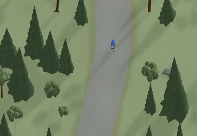
Get a taste of the route in a short, playful cycling game. Follow the bends, take on the hills and discover places along the way.
Start the gameBe the first to suggest a place! As a member, you can add your own locations via the button on the map. Learn more about membership
Found something that does not look right with the GPX file, map, route alignment, or content?
Tips and experiences
As a member, you can read tips from others and share your own experience here.
Learn more about membership