
The route on your phone
Become a member to use the route with your phone. You can use the app, or open the GPX file in another map app or GPS device.


The stage after Hattfjelldal is hilly with minor uphill sections, where the road follows the shores of Røssvattnet, Norway's second largest lake, on narrow and winding roads. Look out for sheep along the way.
The road ends with a long downhill stretch of almost 25 km, leading down to the village of Korgen, where it connects to the E6 European highway. In Korgen, you can stay at Korgen Camping, which offers comfortable accommodation and a welcome break after a day of cycling adventures.
The app is a practical way to use Sweden by Bike on your phone, including routes, favorites and selected membership features.




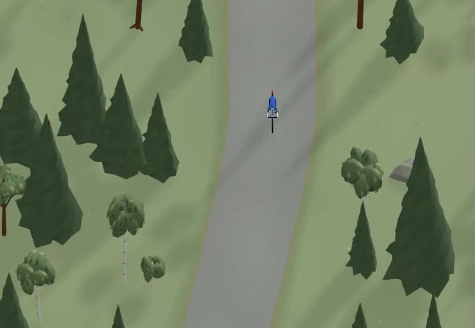
Get a taste of the route in a short, playful cycling game. Follow the bends, take on the hills and discover places along the way.
Start the gameBe the first to suggest a place! As a member, you can add your own locations via the button on the map. Learn more about membership
Found something that does not look right with the GPX file, map, route alignment, or content?
Tips and experiences
As a member, you can read tips from others and share your own experience here.
Learn more about membership