
The route on your phone
Become a member to use the route with your phone. You can use the app, or open the GPX file in another map app or GPS device.


When you leave Enköping, the Mälardalsleden is not so clearly signposted, so keep an eye on the digital map. After about 3 km, there is an alternative gravel road to avoid the busier Torstunavägen. After that, you can enjoy a quiet road ride towards Härkeberga, where you will find a medieval church from the 14th century. It is famous for its well-preserved frescoes by the church painter Albertus Pictor, and is often open for visits during the summer. Next door is Härkeberga Kaplansgård, a cultural-historical destination with as many as 17 red-painted wooden buildings - a nice place for a break with a lot of history.
The journey continues through farmland and woodland. Along the way there are several rune stones that remind you of the area's ancient past. After about 22 km you reach Örsundsbro, where you will find the first grocery store of the day. Just over 5 km further on is Tuna trädgård, a summer café oasis. A detour of about 1.2 km leads to Hjälstaviken bird tower. It is possible to cycle almost all the way there. Here you will encounter a rich bird life and grazing cows moving out towards the water - a perfect stop for nature lovers.
The next highlight is Ekolsund Castle, a magnificent Baroque castle surrounded by a historic castle park with stately avenues, well-kept gardens and 17th century architecture. There is both a castle café and guided tours. Don't miss the detour through the forest that leads here - a real gem along the route.
On your way down toward Ekolsund, you’ll pass several beautiful gardens before the road continues over a footbridge. For lodging, you can choose Krägga Manor, beautifully situated on Lake Mälaren, or dine at Krägga Mat & Vänner. Alternatively, you can continue 5 km uphill to Brunnsta Gård, where you can experience what it's like to live on a working farm. Approximately 85% of asphalt and 15% of gravel.
The app is a practical way to use Sweden by Bike on your phone, including routes, favorites and selected membership features.




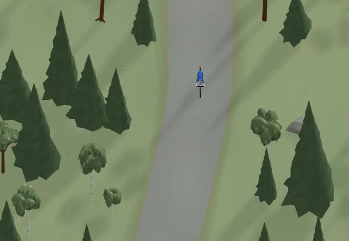
Get a taste of the route in a short, playful cycling game. Follow the bends, take on the hills and discover places along the way.
Start the gameBe the first to suggest a place! As a member, you can add your own locations via the button on the map. Learn more about membership


Found something that does not look right with the GPX file, map, route alignment, or content?


Tips and experiences
As a member, you can read tips from others and share your own experience here.
Learn more about membership