
The route on your phone
Become a member to use the route with your phone. You can use the app, or open the GPX file in another map app or GPS device.


From Strångsjö you cycle southeast. Out by Lake Näsnaren it is scenic and at Fagerön there is a beautifully located wind shelter. You pass Virå bruk before you reach Stavsjö. There is a gas station and restaurant here.
You continue along the northern side of Fjällmossen down to the shore of Bråviken at Nävekvarn. Just before Nävekvarn you can visit the beautiful fire tower at Sankte Bengtsberget. There is accommodation and a shop in Nävekvarn.
The app is a practical way to use Sweden by Bike on your phone, including routes, favorites and selected membership features.




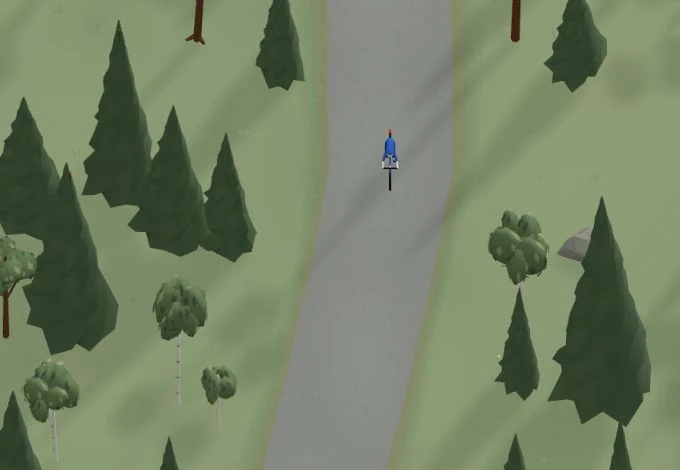
Get a taste of the route in a short, playful cycling game. Follow the bends, take on the hills and discover places along the way.
Start the gameBe the first to suggest a place! As a member, you can add your own locations via the button on the map. Learn more about membership

Found something that does not look right with the GPX file, map, route alignment, or content?


Tips and experiences
As a member, you can read tips from others and share your own experience here.
Learn more about membership