Cycling holidays in the area
Ready-made cycling holidays close to the route or elsewhere in the area.


Plan your ride
Discover Bergslagen by bike through deep forests, sparkling lakes, winding gravel roads, and small paths that lead between industrial towns, villages, and historic mining sites. The Bergslagsrundan takes you through a landscape where nature and cultural history go hand in hand.
Along the way, you’ll pass red-painted farms, old smelting huts, ironworks, and mines that bear witness to the era when Bergslagen was the heart of Sweden’s iron industry. Take a break by a tranquil forest lake, enjoy lunch at a cozy inn, or explore one of the many attractions that tell the story of Bergslagen’s fascinating history.
The Bergslagsrundan is a loop route that can be divided into six one-day stages, offering stunning natural scenery, unique accommodations, and local culinary experiences. Each stage has its own distinct character, and together they create a diverse cycling vacation through one of Sweden’s most exciting regions.
The app is a practical way to use Sweden by Bike on your phone, including routes, favorites and selected membership features.


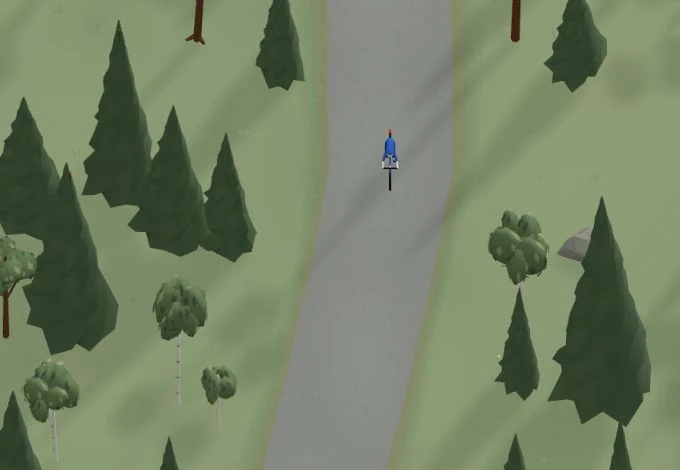
Get a taste of the route in a short, playful cycling game. Follow the bends, take on the hills and discover places along the way.
Start the gameBe the first to suggest a place! As a member, you can add your own locations via the button on the map. Learn more about membership


Found something that does not look right with the GPX file, map, route alignment, or content?
Tips and experiences
As a member, you can read tips from others and share your own experience here.
Learn more about membership