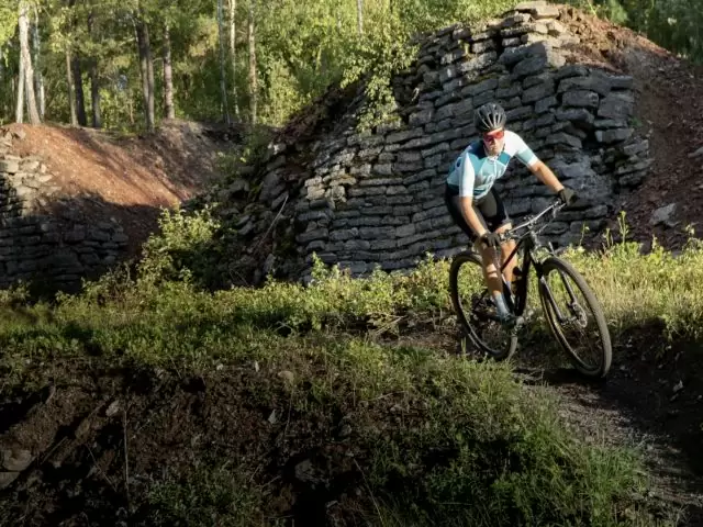
Trail riding, a skills area and descents at Kvarntorpshögen


The loop follows narrow trails around the foot of Kvarntorpshögen. Across the road are the Serpentindammarna ponds, where water from the hill is treated in several stages. The short loop leaves time for a few laps of the skills area by the ski club hut.
Trail 1. Follow the blue waymarks and watch for traffic where the trail crosses the road.


Help improve this page. Is something missing or out of date?
Tips and experiences
Have you cycled here? Share something that was useful to know, such as surface conditions, a good stop, or a section to watch.