
The route on your phone
Become a member to use the route with your phone. You can use the app, or open the GPX file in another map app or GPS device.


You leave Hampetorp and cycle on through varied nature with forest roads, gravel roads and open landscapes. Some parts are a little more challenging, but the reward is nice nature experiences and quiet surroundings.
Along the way you pass Hjälmarebaden, one of Hjälmaren's largest bathing areas and a perfect stop for a dip. There is also the opportunity to rent a kayak for those who want to experience the area from the water.
As you approach Örebro, you follow cycle paths towards the city. The last few kilometers offer a beautiful finish along Svartån, past Rynningeviken nature reserve and charming Wadköping, before you reach the stage finish at Örebro Castle.
Please note! Shortly after Århammar Fisk & Kräftor, the trail may be closed off with a fence (information as of July 31, 2026). If the passage is not open, follow Route 52 until you can rejoin the trail further ahead.
Hjälmarleden is under development. The municipalities are reviewing the route and preparing signage, and the route choices listed here are suggestions. Have you cycled the trail? Please share your tips and experiences here: https://ivlv.me/izy1F
The app is a practical way to use Sweden by Bike on your phone, including routes, favorites and selected membership features.


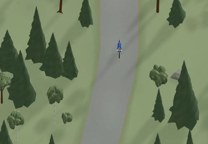
Get a taste of the route in a short, playful cycling game. Follow the bends, take on the hills and discover places along the way.
Start the gameMissing a place? Suggest it on the map.

Help improve this page. Is something missing or out of date?
Tips and experiences
Have you cycled here? Share something that was useful to know, such as surface conditions, a good stop, or a section to watch.