The route on your phone
Become a member to use the route with your phone. You can use the app, or open the GPX file in another map app or GPS device.


The route passes Lake Tisaren, woodland roads around Skyllberg and the farmland near Snavlunda. Farther south it passes Fagertärn before continuing to Aspa bruk. Leave your bike at the car park if you want to explore Fagertärn on foot.
Allow about 4–6 hours of riding. Choose a bike suited to mixed surfaces and take food and water for the longer stretches in the woods.
The app is a practical way to use Sweden by Bike on your phone, including routes, favorites and selected membership features.


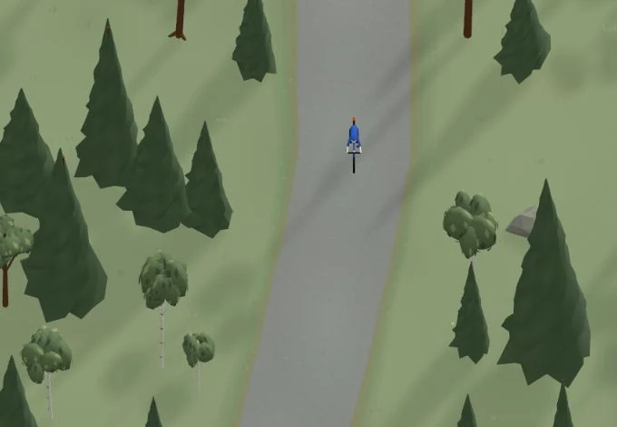
Get a taste of the route in a short, playful cycling game. Follow the bends, take on the hills and discover places along the way.
Start the gameMissing a place? Suggest it on the map.
Help improve this page. Is something missing or out of date?


Tips and experiences
Have you cycled here? Share something that was useful to know, such as surface conditions, a good stop, or a section to watch.