
Midnight Sun Route
Advanced Asphalt


Today's stage between Vilhelmina and Dikanäs takes you through a varied landscape - from calm lakes and forests to rugged mountains and valleys. The bike ride starts along the E45 before turning onto the quieter road 1067 towards Stalon, along the shores of Lake Malgomaj.
This stretch is relatively flat and offers a smooth and pleasant ride. From Stalon, the route continues on road 1077 towards Dikanäs, where the terrain becomes more challenging. From Stalon you cycle on road 1077 towards Dikanäs, where the terrain becomes more challenging. Near Dikanäs there is the possibility to stay overnight at Kvarnforsens Stugby & Camping.

Use Sweden by Bike to find cycling routes on the map and save favorites for your next ride.


Missing a place? Select “Add Location” on the map, then mark its location.
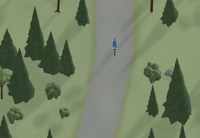
Get a taste of the route in a short, playful cycling game. Follow the bends, take on the hills and discover places along the way.
Is something missing or out of date?
Tips and experiences
Have you cycled here? Share something that was useful to know, such as surface conditions, a good stop, or a section to watch.