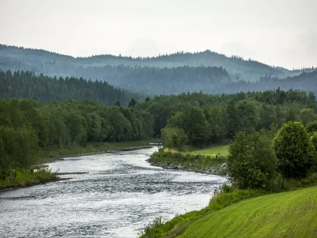

Old stone arch bridges, mountain views and reindeer grazing await. The St. Olavsleden trail takes you across the border into Norway. After passing Forsa you reach a hill where you get a fantastic view of the valley that spreads out below, with a redoubt by the river.
After a short stretch on the E14, the trail turns onto Skalstugevägen, also known as Karl Johansvägen. The road was reopened in 1835 by King Karl XIV Johan, and the beautiful stone arch bridges still stand as artistic masterpieces. One of the most scenic spots along the trail is Tännforsen, Sweden's largest waterfall, where the wild water plunges 38 meters and spreads over 60 meters. As you enter Norway, the landscape becomes more dramatic. At the second arched stone bridge over Kvilbekken, there is a rest area with an impressive view of Inndalen and the mountain landscape. Ådalsvollen, which served as a customs station until 1994, leads you further along the trail to Sulstua.
Be the first to suggest a place! With Premium, you can add your own locations via the button on the map. Learn more about Premium